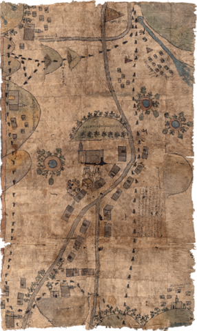
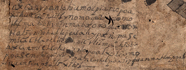
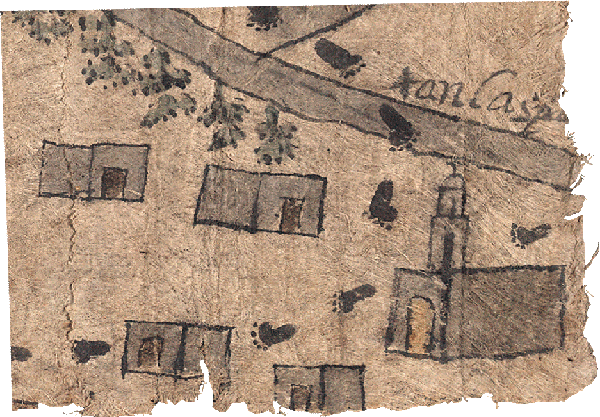
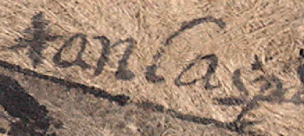
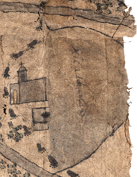
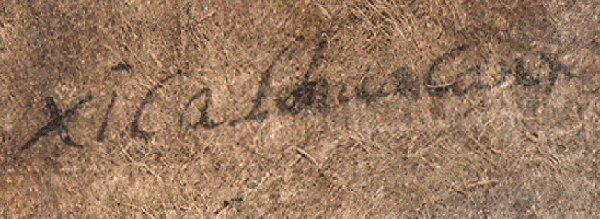
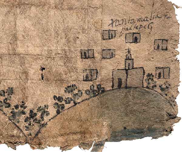
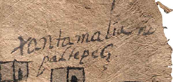
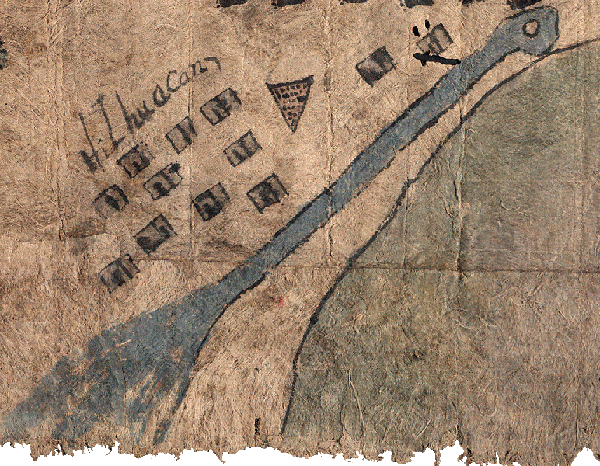
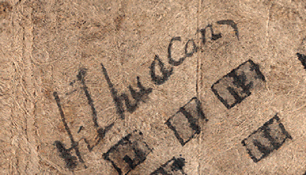
This manuscript is associated with the indigenous community of San Juan Tolcayuca, modern state of Hidalgo, republic of Mexico. It is an unpublished example from the genre called “Techialoyan Codices” — late colonial, Nahuatl-language manuscripts written and painted on amatl (amate in Spanish, the name for a native fig-bark paper). Techialoyan manuscripts date from the late-seventeenth and early eighteenth centuries. This particular one is not found in the catalog published in the Handbook of Middle American Indians in 1975. It is a part of the Jay I. Kislak Collection in the Library of Congress. The map-like Tolcayuca manuscript is painted on one side of a large, rectangular piece of amatl, measuring about 2’ by 3’. It seems to record a territorial border survey, possibly carried out in the late seventeenth or early eighteenth century. The survey is marked by footprints around what may have been the communal holdings of the pueblo of Tolcayuca. The pictorial also shows an open-air meeting held in front of the community church, attended by a large group of indigenous women and two men, an indigenous noble and a Spanish friar or priest. Colonial law did not allow native women to serve on the local town council, but this image dramatically suggests that women remained active participants at important meetings, such as this public reading of the town’s land titles. At the center of the manuscript is the town of San Juan Tolcayuca symbolically represented by a Christian church and a small group of houses. Other towns in the vicinity appear around the edges of the manuscript. Bodies of water, hills, and possibly pyramids can also be seen. Stone piles and crosses apparently serve as territorial landmarks. Eight lines of Nahuatl-language text appear on the manuscript, in addition to a number of glosses. The text refers to the establishment of the town boundaries -- supposedly on a Wednesday in July in the year 1520. (Stephanie Wood)
1 of 1
