Oztoticpac Lands Map

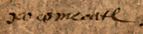
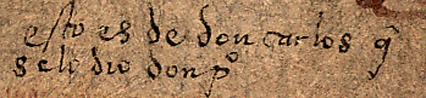
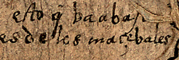
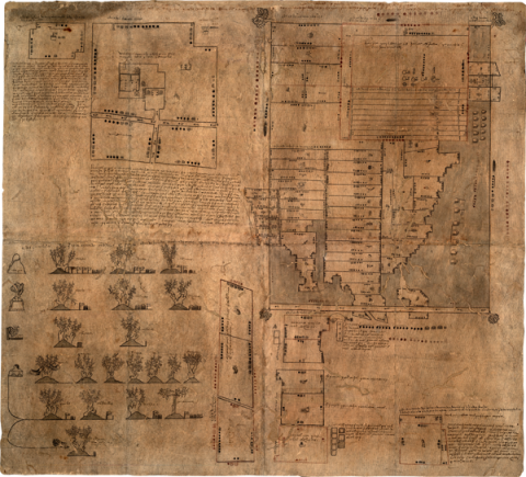
The original manuscript, the Oztoticpac Lands Map, measuring approximately 76 by 84 cm. and drawn on native fig-bark paper (amatl), dates from sixteenth-century Tetzcoco, apparently from the 1540s. It was probably prepared for litigation in the courts of New Spain in the wake of the execution for “idolatry” of one of its principal figures. The Oztoticpac Lands Map features the properties that once belonged to a don Carlos Ometochtli Chichimecatecutli (or Chichmecatecolotl) and his half brother Fernando Cortés Ixtlilxochitl, two nobles who were the sons of Nezahualpilli Acamapichtli, a famous Acolhua lord. It was don Carlos’ execution that provided a need to clarify and distribute his estate.

The Oztoticpac Lands Map, which not only provides details of noble lands and palaces but also the parcels of macehuales (indigenous commoners), somehow ended up in the Library of Congress, in the Division of Geography and Maps (with the call number 247). Its provenance is unknown, but the Library may have acquired it as early as 1905. It came to the attention of the Director of the Hispanic Division at the Library, Howard F. Cline, in 1965. Cline was the first scholar to complete an intensive investigation of its contents, which he published in 1966 and 1968.

While a facsimile with zoom capability is already being hosted on line by the Library of Congress , it is our intention to provide here the magnifications of close details that will enable intensive transcription and translation of the Nahuatl and Spanish-language textual elements as well as description and analysis of the pictorial elements (parcels, measures, glyphs, flora, people, and so on). We offer zoom with hyperlinked slices of the manuscript to which we will attach scholars’ commentaries. The commentary and analysis that we will attach to the sections and their smaller components we will draw from the published work of Cline, Xavier Noguez, and Herbert R. Harvey. We will also add some of our own readings, citing the sources of all such content we add to the facsimiles. We hope the result will foster discussion, further research, and enable teachers to use this primary source material in courses across disciplines in the social sciences and humanities, such as history, literature, and language classes.

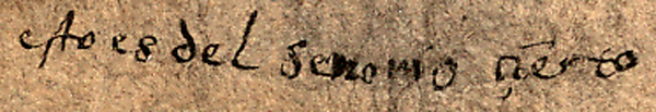
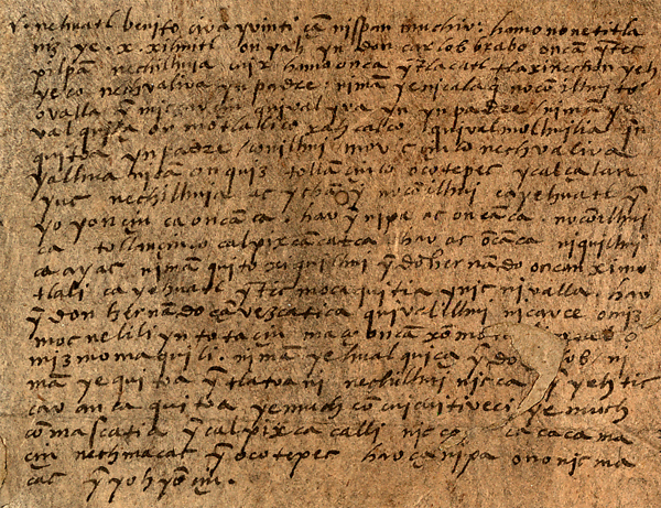
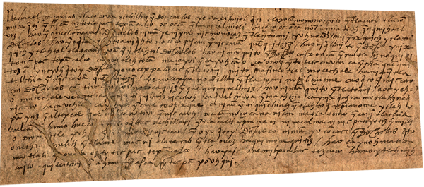
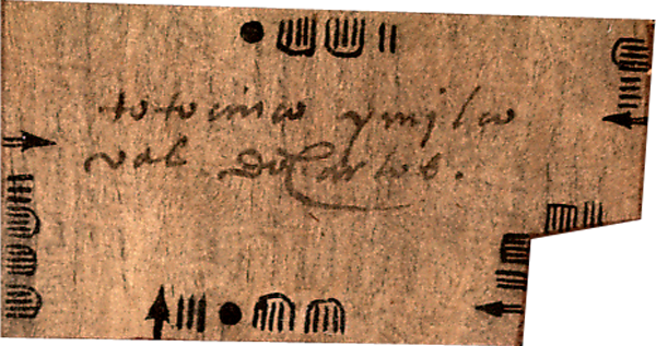
The largest part of the document consists of black-and-red line drawings that depict fields with indicators of their measurements and ownership, houses, other buildings, and trees. Measurements and names are given in pictographic writing, or glyphs. In one outer corner of the map, the viewer sees twenty trees that were grafted with European fruits, including apples, quinces, pears, grapes, and pomegranates.

The study by Noguez is available free on line: .

The World Digital Library provides a virtual facsimile that can be downloaded, along with an introduction with additional information than we have provided here. See: http://www.wdl.org/en/item/106/

See also: http://www.myloc.gov/Exhibitions/EarlyAmericas/ExplorationsandEncounters...

(Stephanie Wood)

Principal editor: 
Stephanie Wood
Provenance: 
Library of Congress.

Transcriptions and Translations

Analytic Transcription English Translation Literal Transcription Spanish Translation Standardized Transcription
esto es del señorio çierto this is from the kingdom (or noble's domain) certain esto es del señorio cierto
[Nahuatl transcription goes here.] [Transcription by Xavier Noguez.] [English translation from the Spanish goes here.] [English translation from the Spanish by Melanie Hyers.] [Spanish translation from the Nahuatl will go here.] [Spanish translation by Xaiver Noguez.}
ymil don antonio the field of don Antonio ymil don antonio la milpa de don Antonio imil don Antonio
[This is where the analytic transcription will be.] [This is where the English translation from the Spanish will be.] [This is where the Spanish translation from the Nahuatl will be.]
[This is where the English translation of the Spanish text will go.] [This is where the transcription of the Spanish text will go.]
climbing vines [Melanie Hyers] parras [XN]
esto es de don carlos q- se lo dio don po this belongs to don Carlos, given to him by don Pedro
esto que va abajo es de los macevales this that goes down belongs to the macehuales
esto no es suyo this is not his
totocinco ymilcoval dō Carlos [SW] the purchased land of don Carlos at Tototzinco [SW]