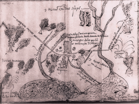
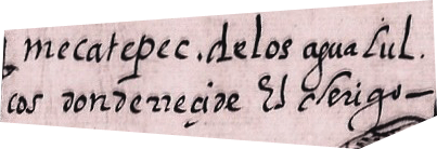
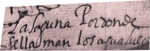
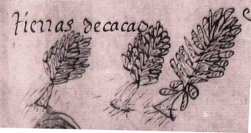
This map relates to Mecatepec, a Nahua pueblo that is part of Agualulco in Tabasco. This is near Coatzacoalcos, Veracruz. In fact, there is also a Mecatepec in Veracruz, according to Sherburne F. Cook and Woodrow Borah, Essays in Population History: Mexico and California (Berkeley: University of Calfornia Press, 1979), vol. 3, pp. 106, 109. This region was rich in cacao production, as we see on this map. This map is located in the Tierras collection of the Archivo General de la Nación (AGN), Mexico, vol. 2, expediente 11, f. 7. It measures 31 x 43 cm. Its author is anonymous. It dates from 1599, according to the Catálogo de Ilustraciones, vol. 2, item 528, page 15, of the AGN. (Brief description by Stephanie Wood; map analysis by Amara Solari.)
1 of 1
