Canal
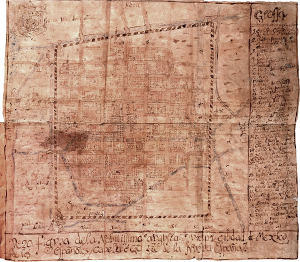
This is the northernmost of the many canals depicted on the map. This canal also served as the boundary line between the two altepetl (ethnic states) on the island, Tenochtitlan and Tlatelolco. This image also depicts three bridges and three canoes.
Canal

